0
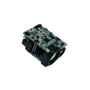
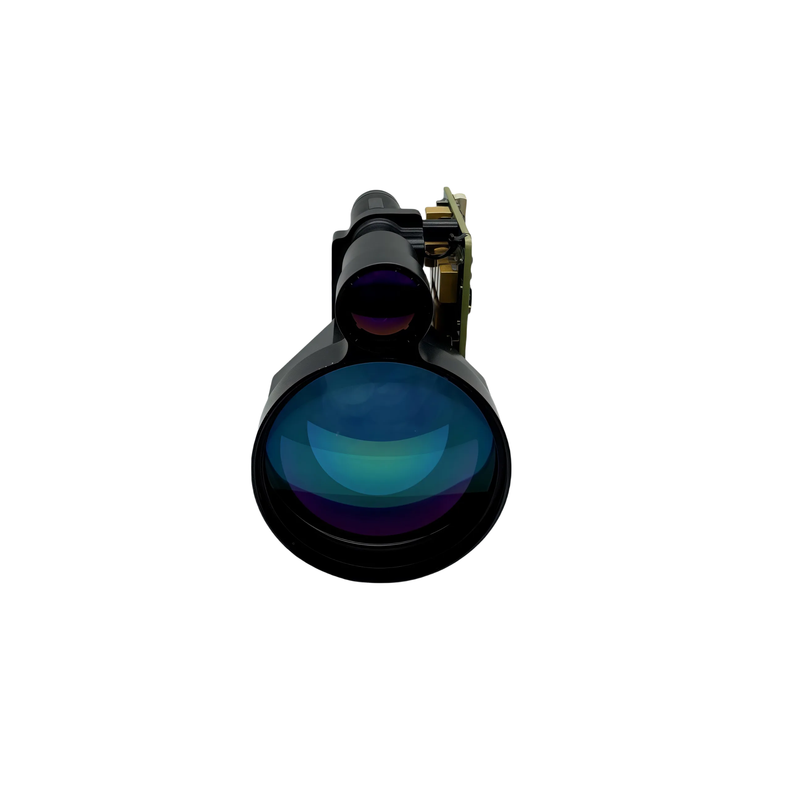
NLM5300A 5.3km High Precision Laser Distance Sensor
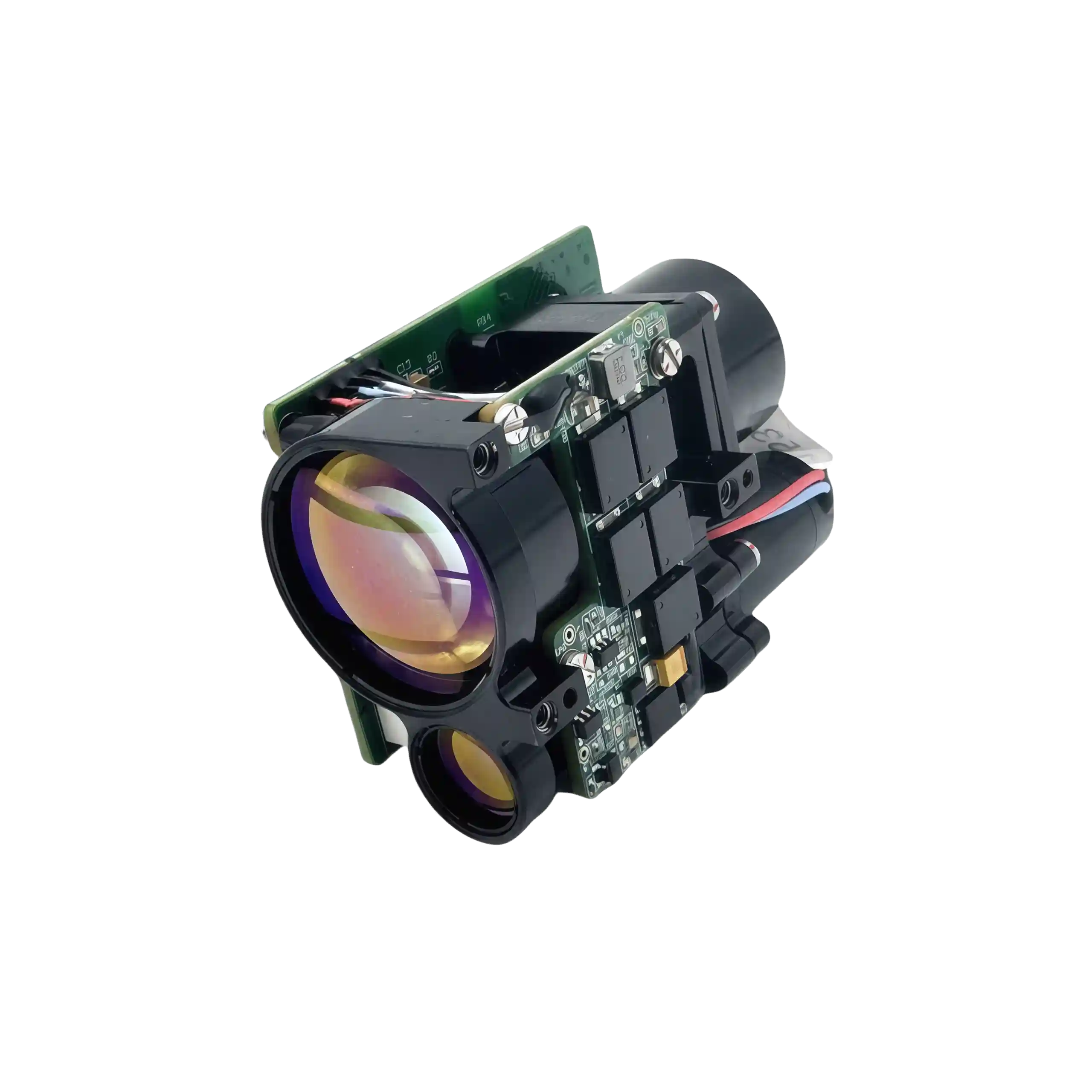
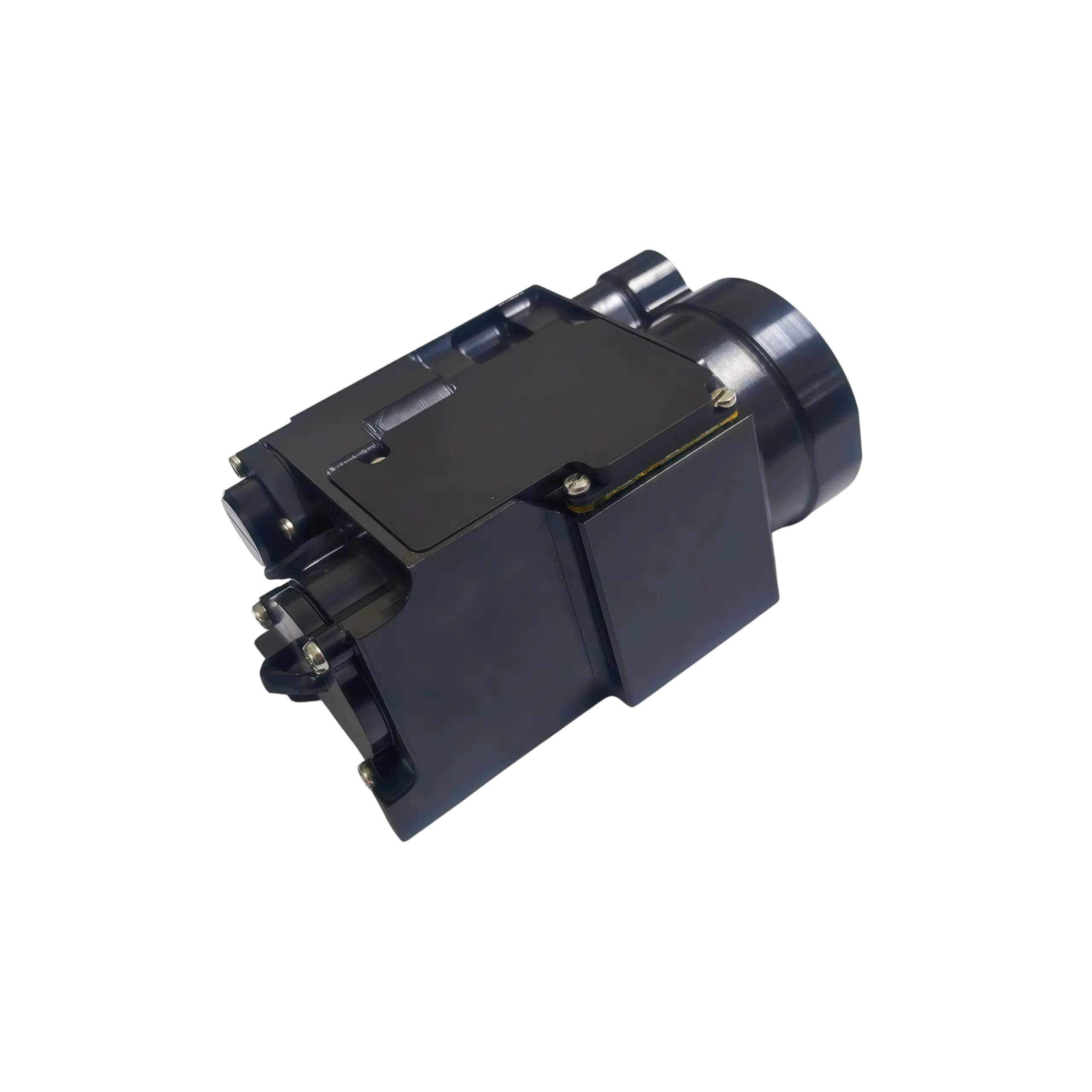
NLM9500A 9.5km Industrial Laser Rangefinder Module
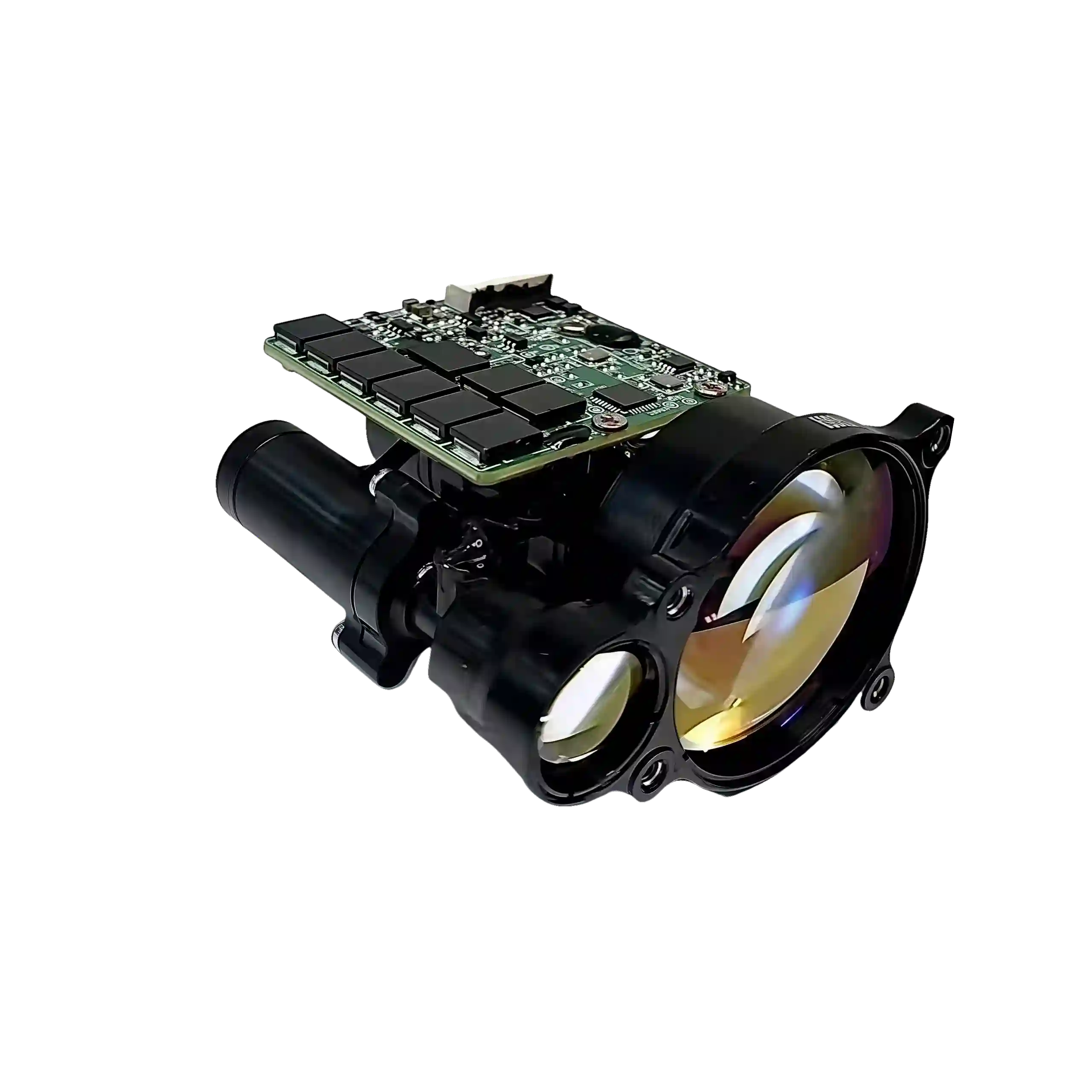
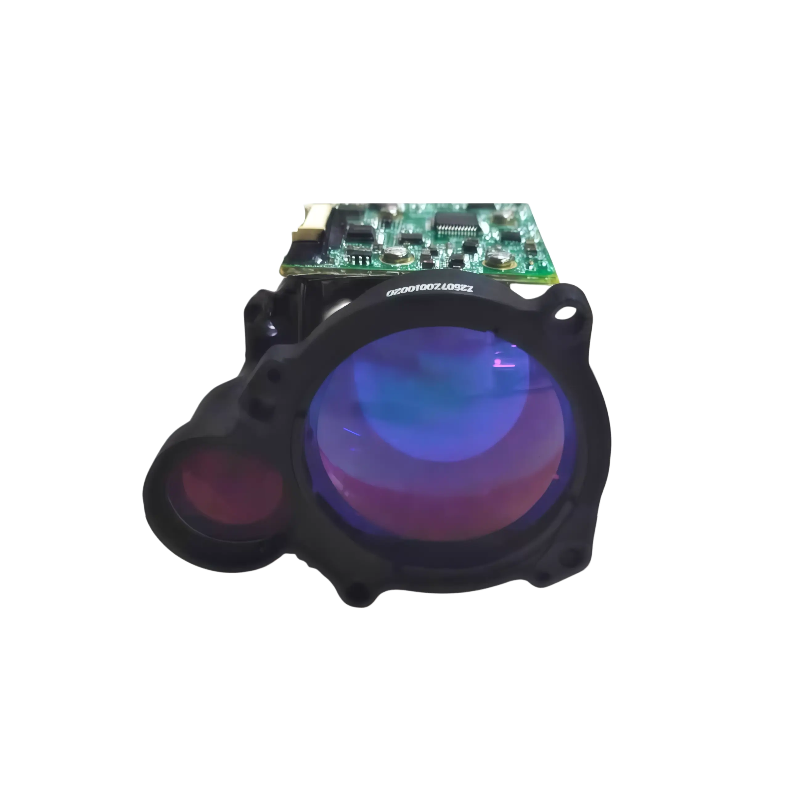
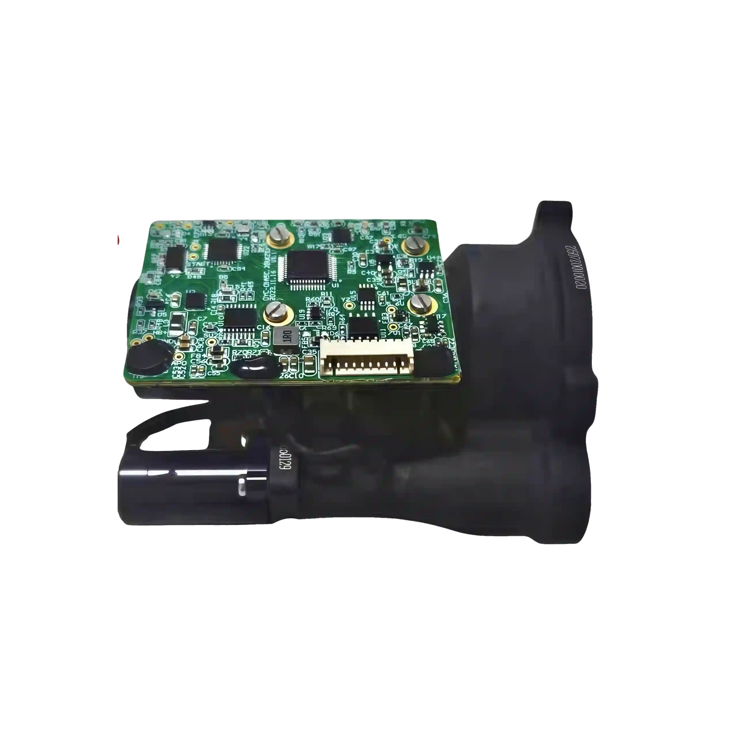
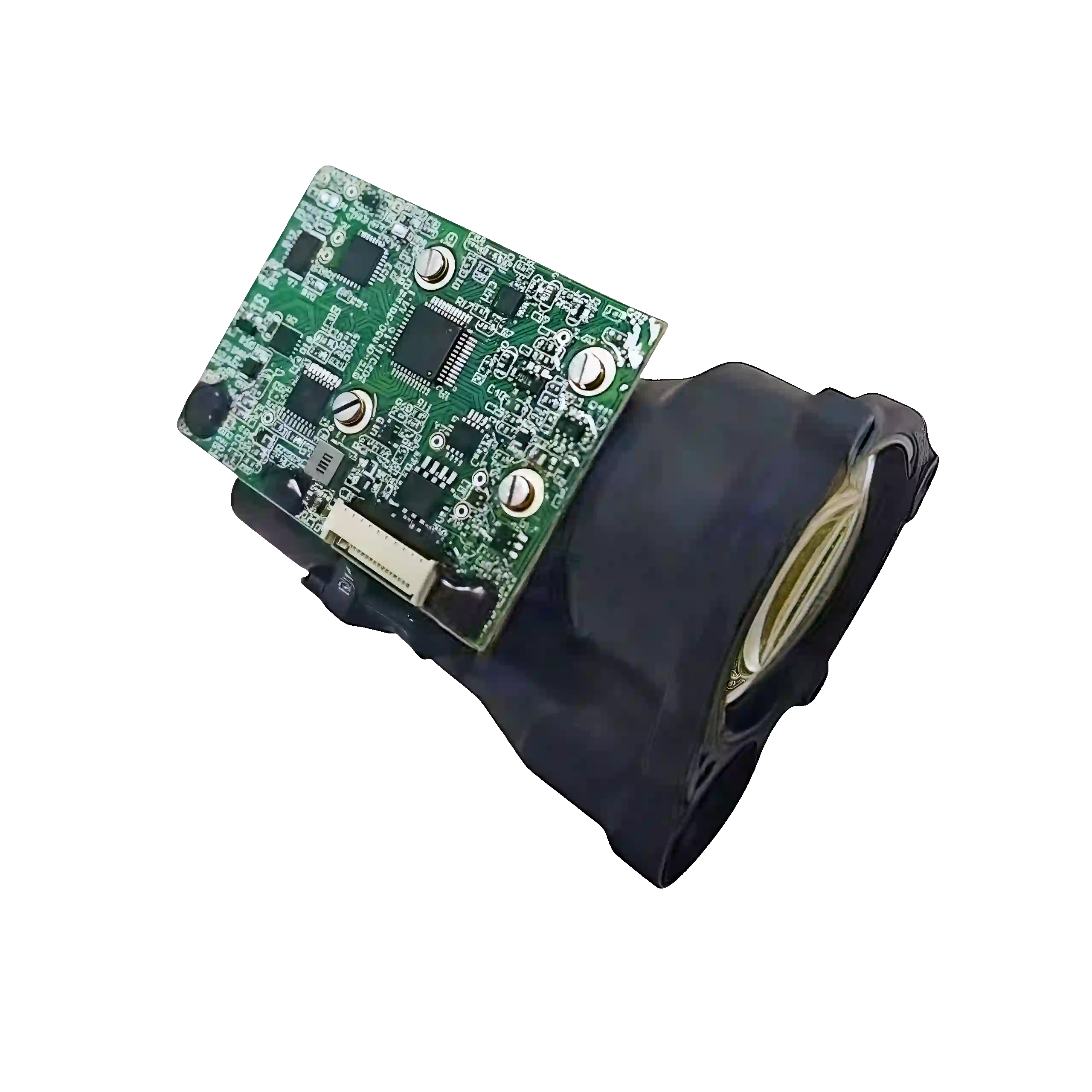
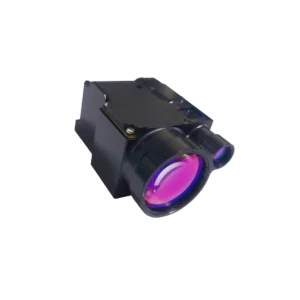
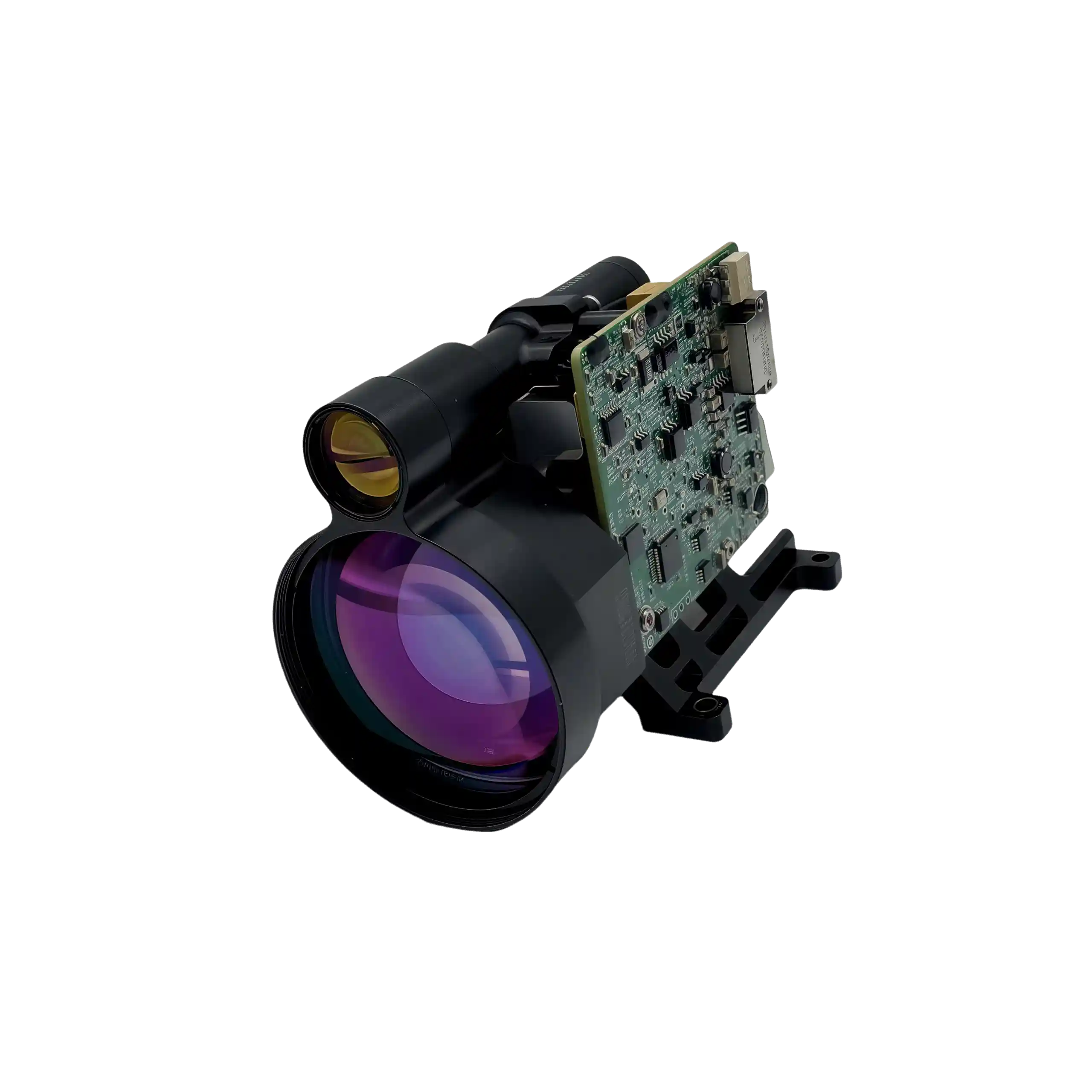
NLM7300A Precision Topographic Laser Rangefinder Module
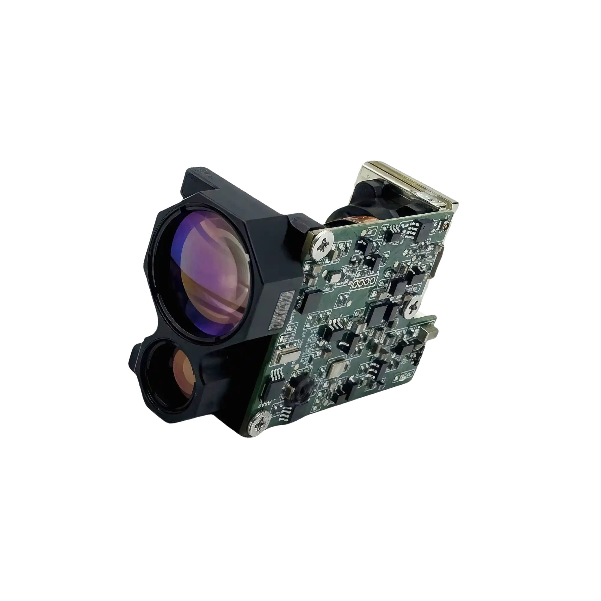
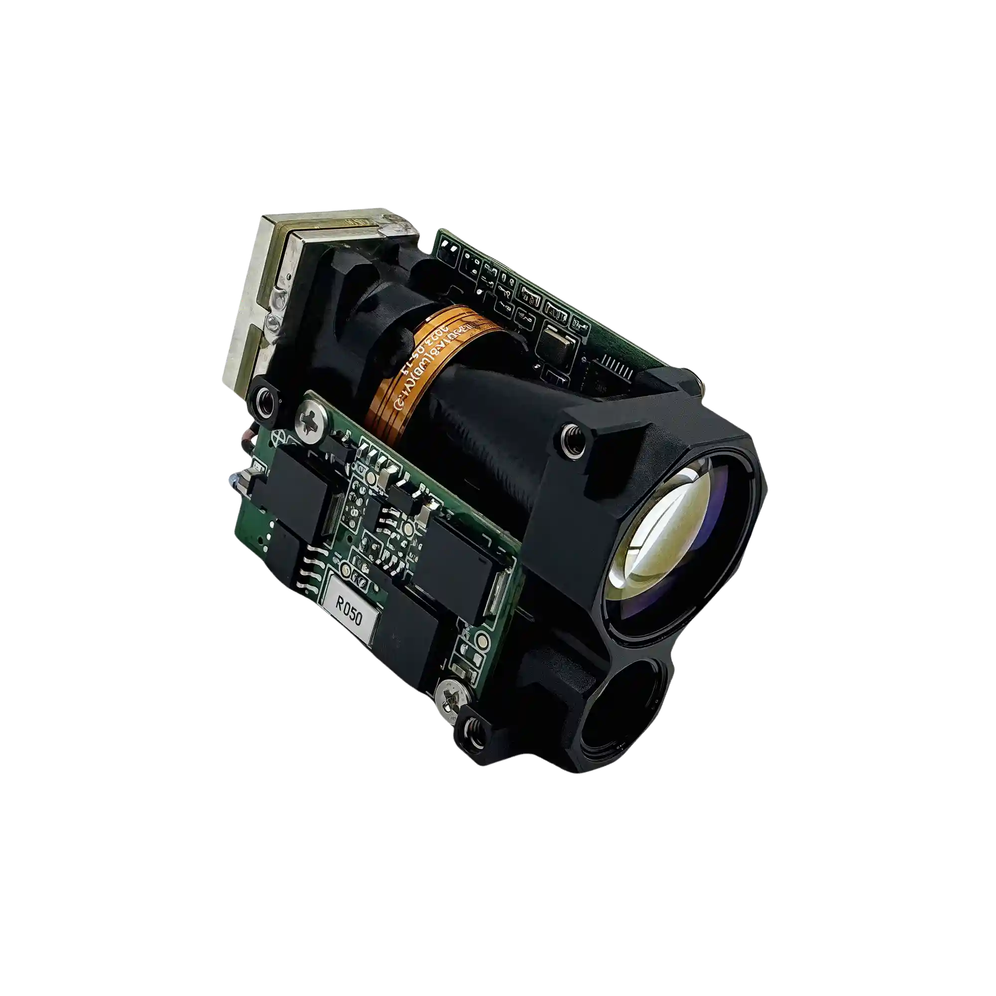
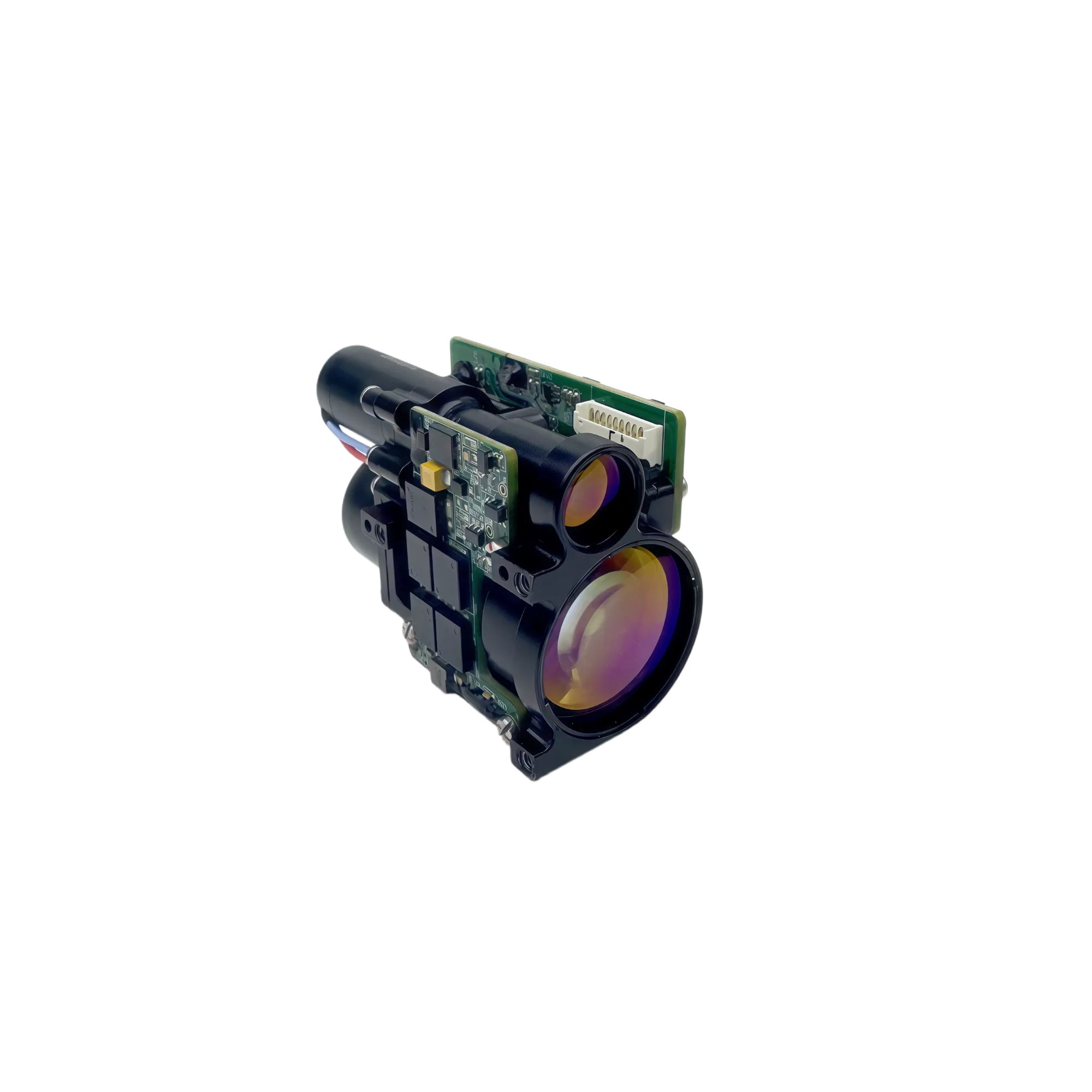
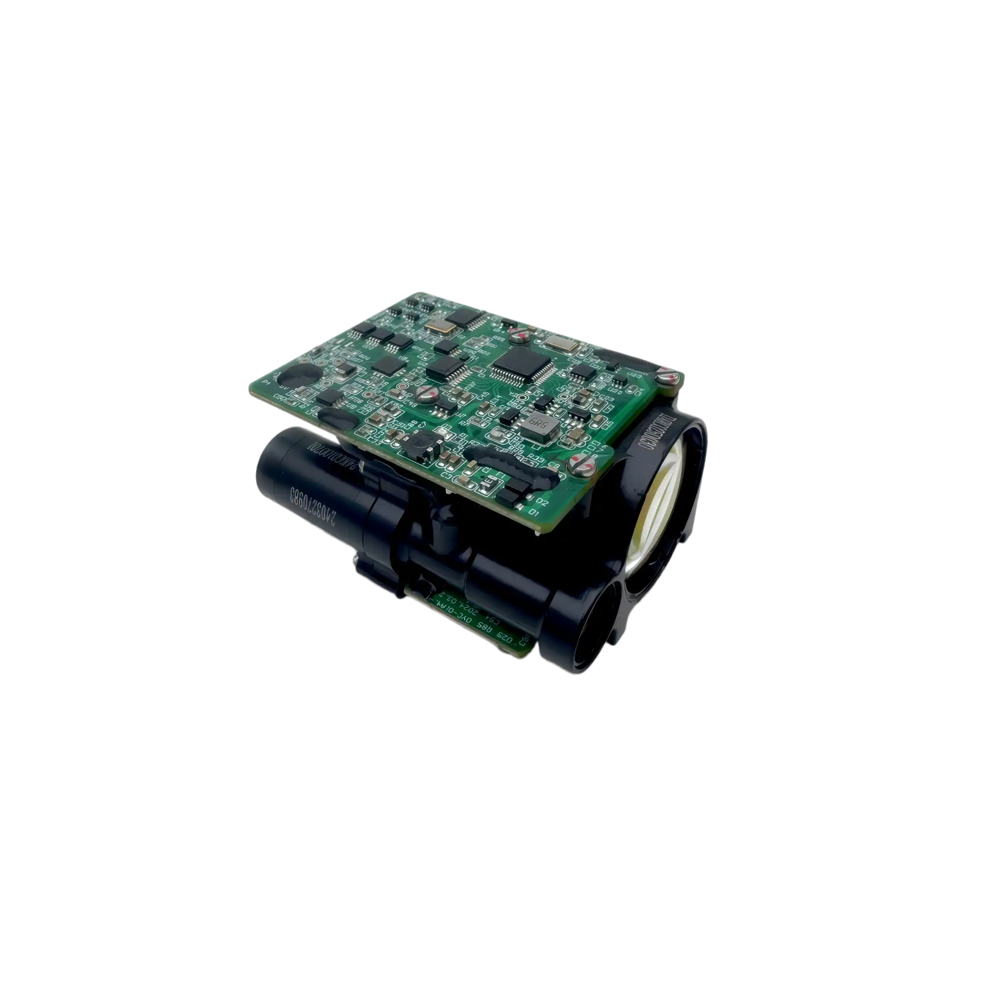
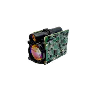
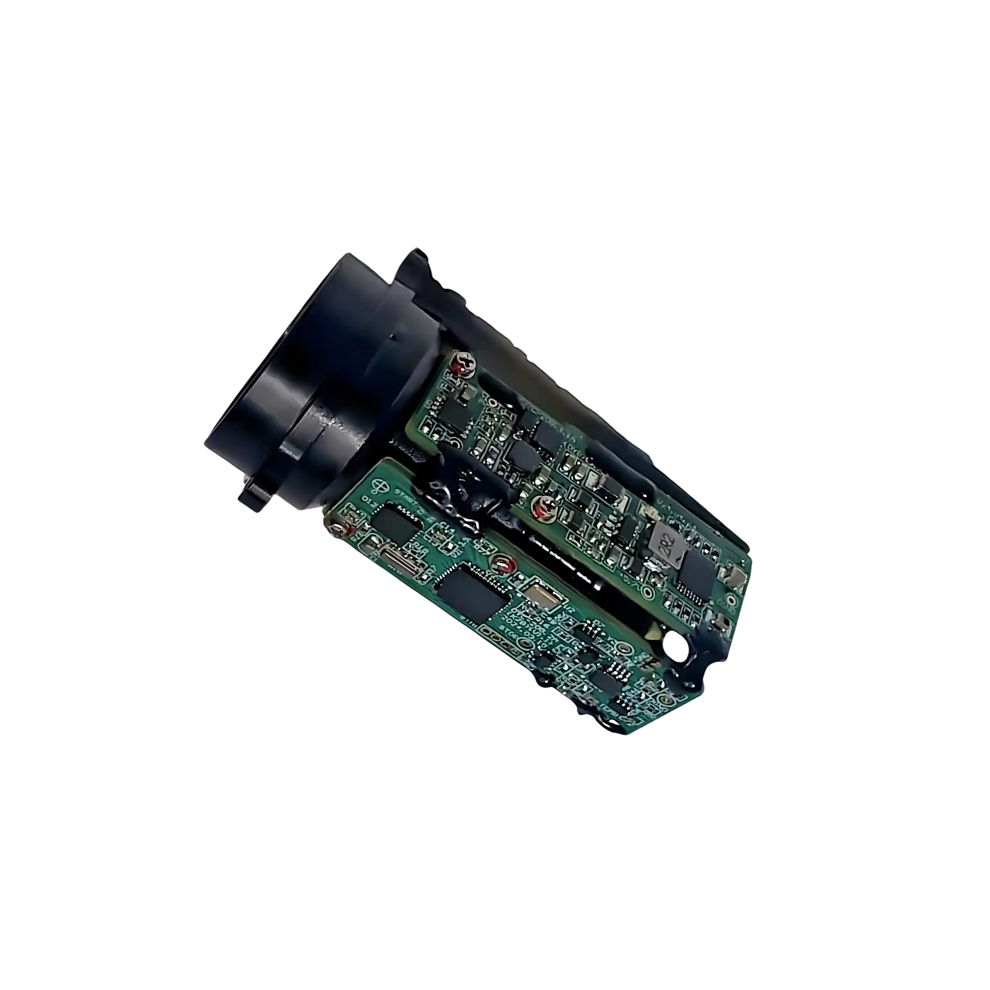
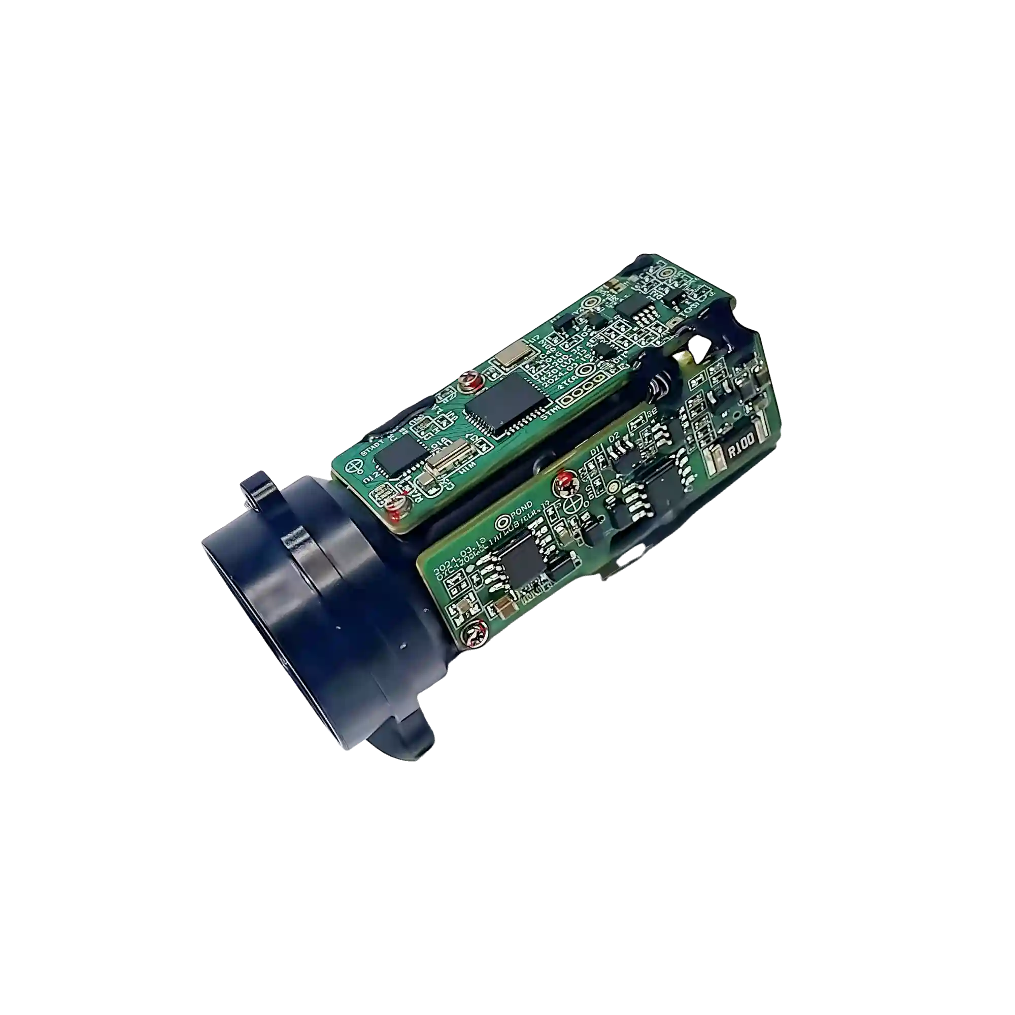
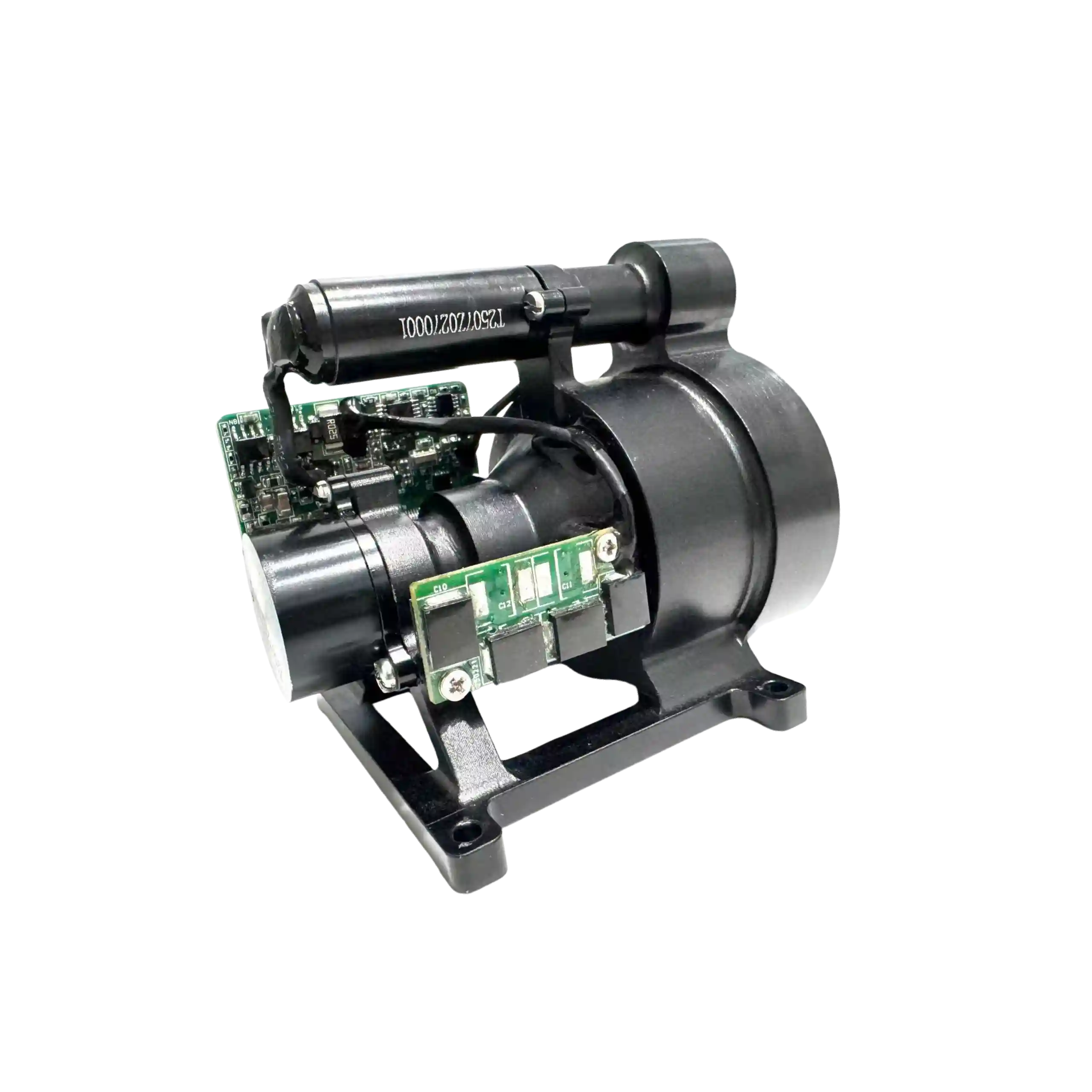
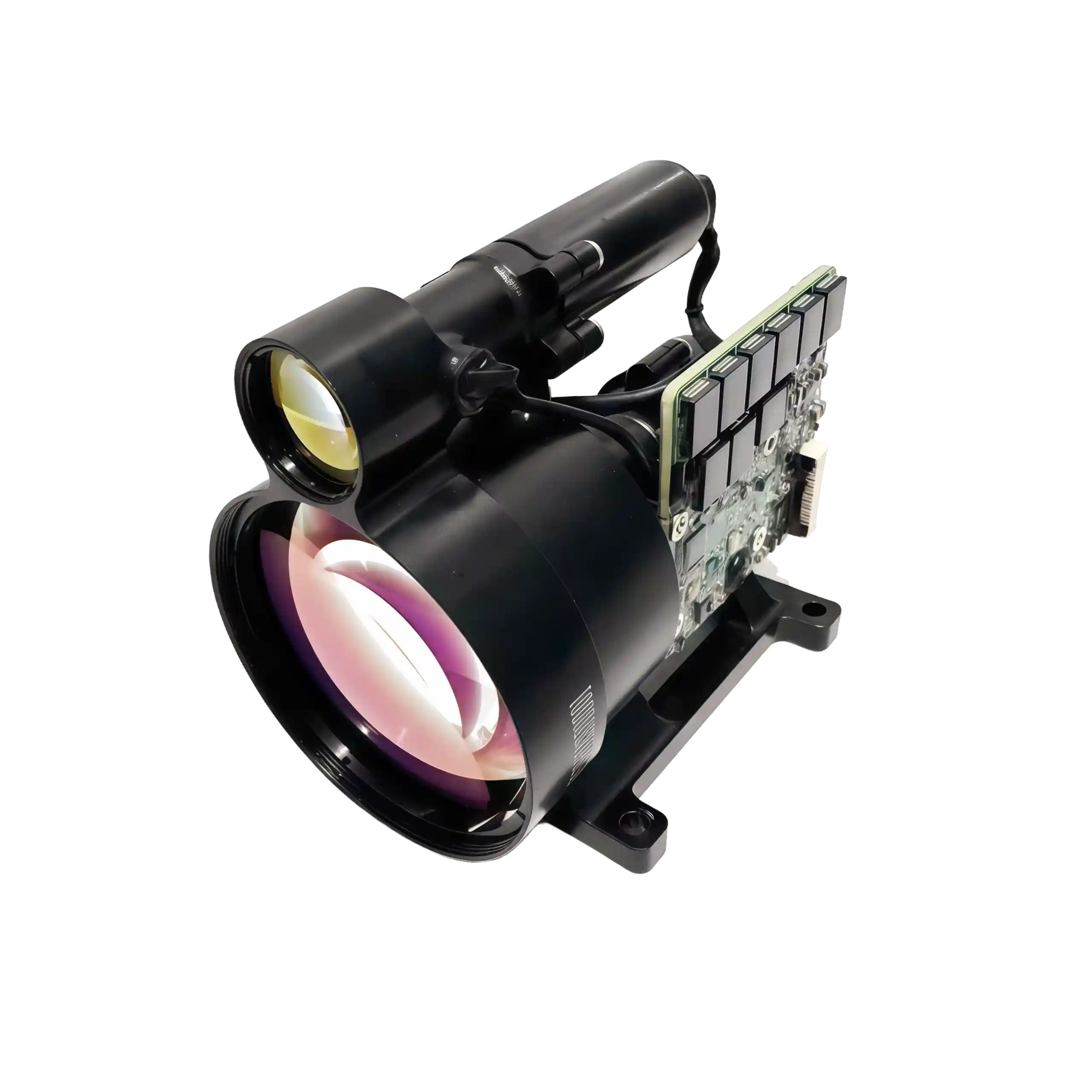
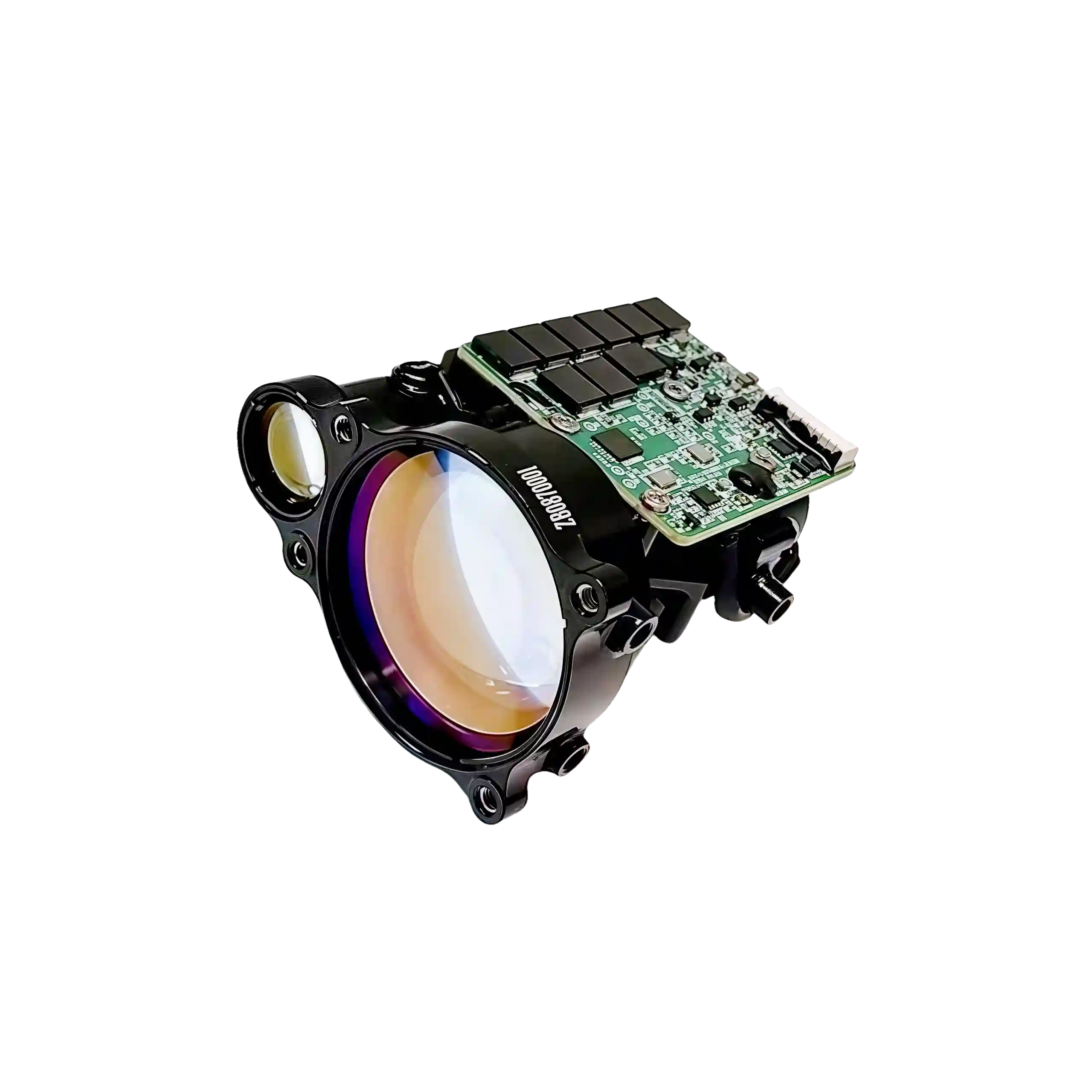
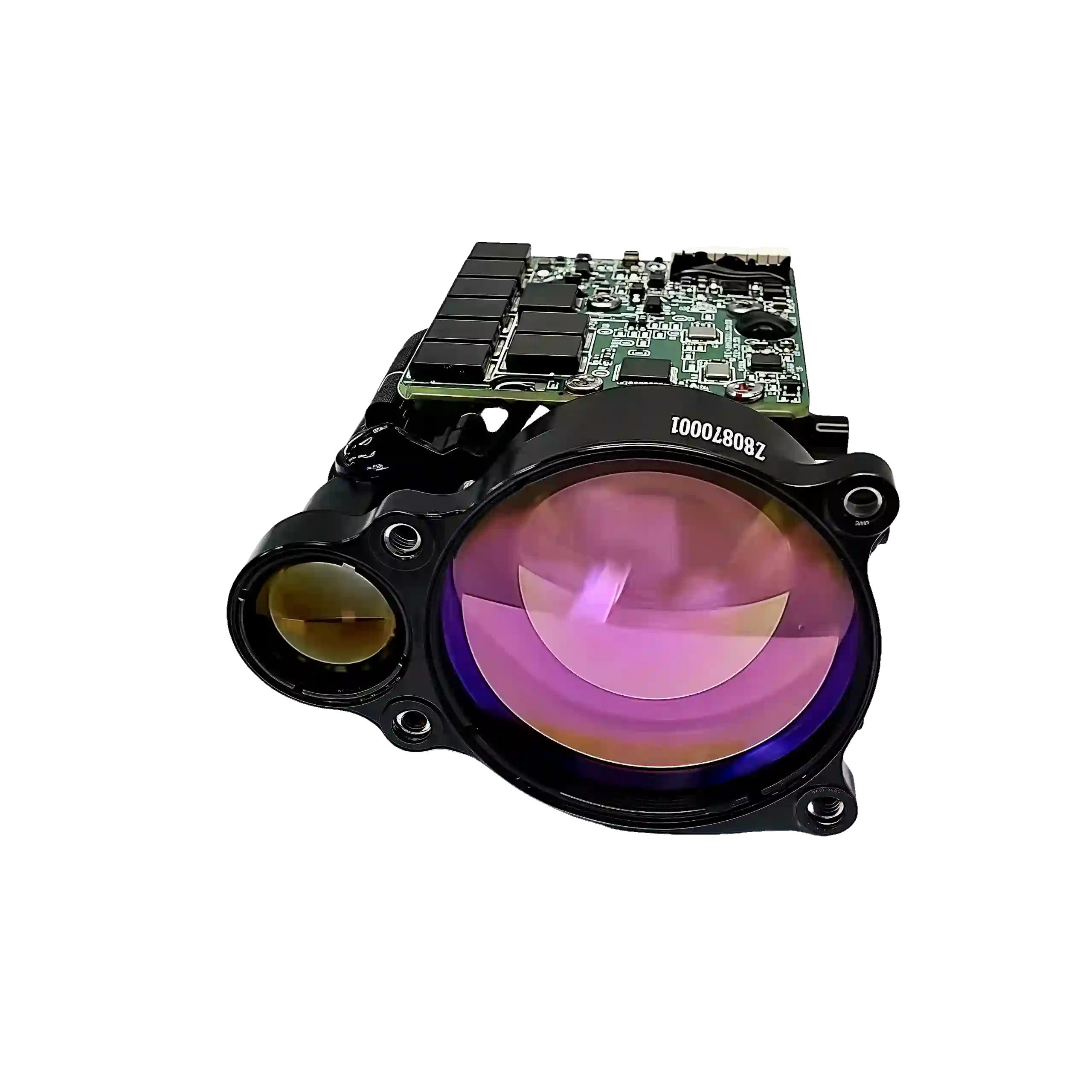
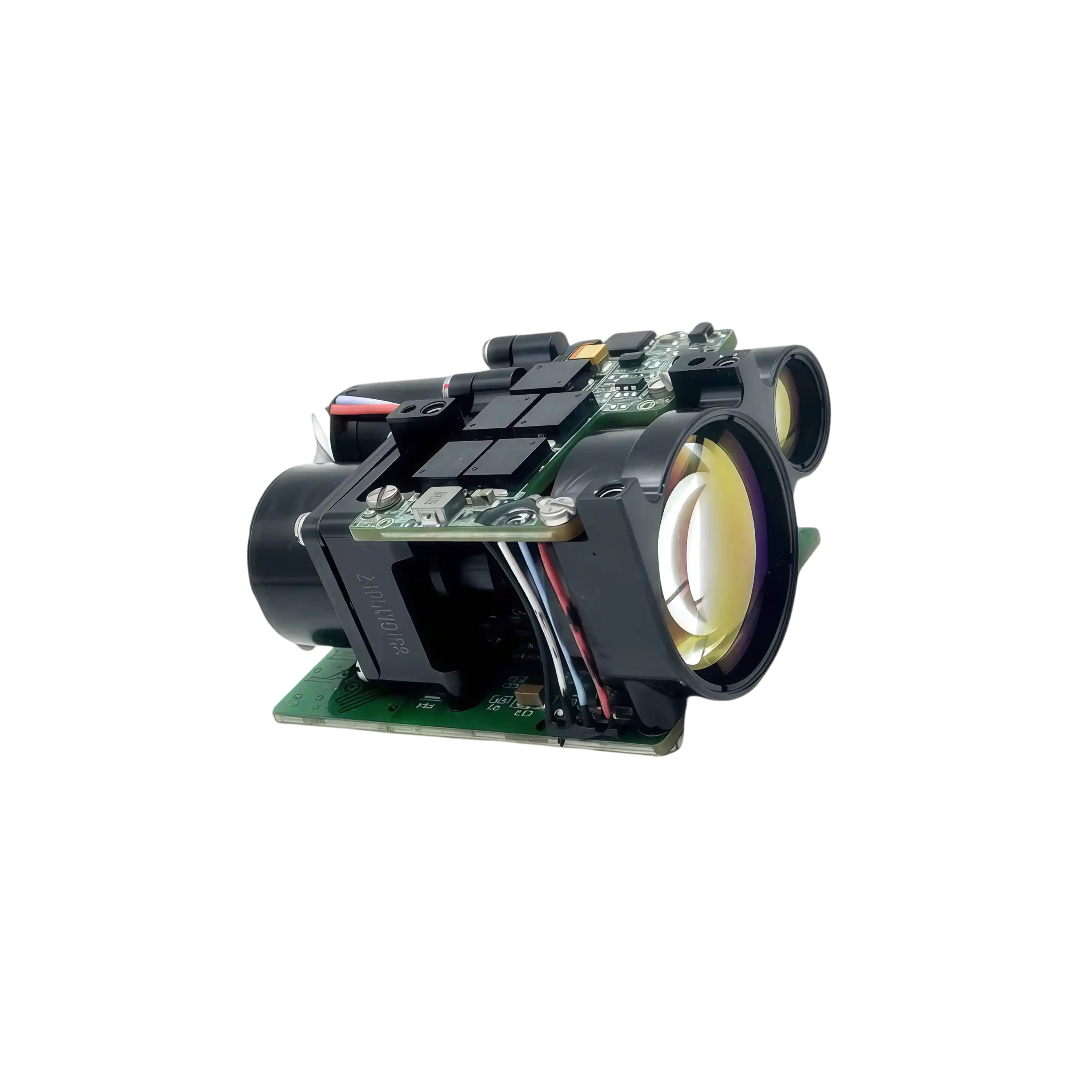
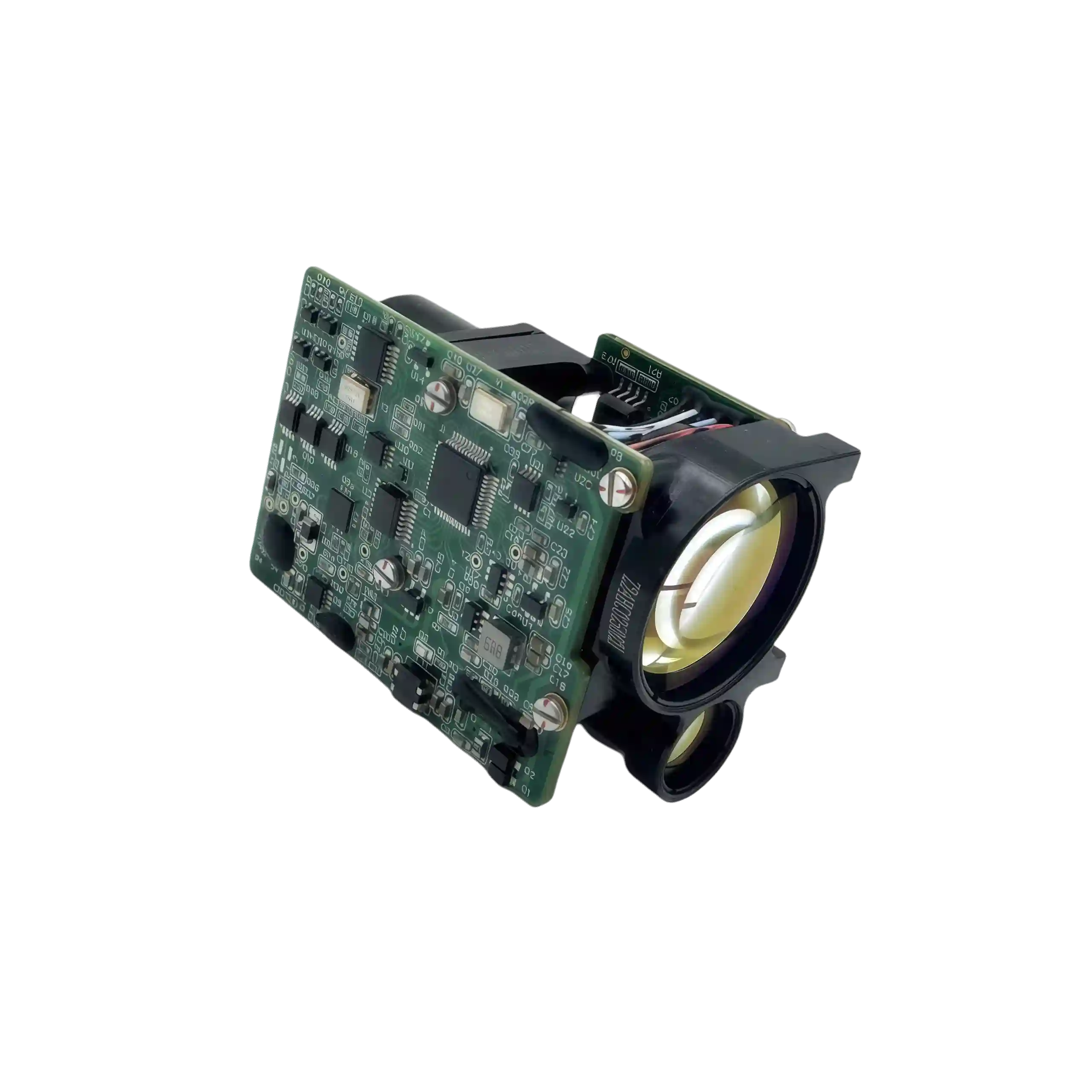
Surveying vast terrains and dense forestry demands a telemetry core that balances extreme reach with minimal payload impact. The NLM7300A is a specialized 7.3km topographic laser rangefinder module that meets this exact requirement. By integrating a highly efficient 1535nm DPSS engine into a sub-125g chassis, it delivers uninterrupted distance data for advanced mapping drones and industrial observation platforms without introducing excess bulk.
- 7300M TOPOGRAPHIC REACH | Accurately locks onto large structural targets and complex terrain features with ±1m precision.
- 125G AIRBORNE PAYLOAD | Sub-compact 80×58.5×45mm architecture specifically designed for restrictive UAV payload capacities.
- ADVANCED SIGNAL GATING | Features programmable range gating to actively filter out environmental interference in dense forestry.
- DC 6V-9V EFFICIENCY | Highly optimized power management with an ultra-low standby consumption of just ≤0.5W.
I. NLM7300A 1535nm DPSS High-Fidelity Measurement Engine
Penetrating Complex Terrains with Precision Telemetry
Acquiring accurate spatial data across vast, unpredictable landscapes requires a highly specialized approach to optical engineering. The NLM7300A serves as a dedicated 7.3km topographic laser rangefinder module, engineered precisely to conquer these environmental challenges. Powered by a high-transmittance 1535nm DPSS Class 1 eye-safe source, the device consistently captures spatial coordinates up to 7300m against large structural panels. To guarantee pristine data fidelity in complex surveying scenarios, the system incorporates programmable range gating alongside a unique cumulative emission counter (±2 counts) for precise lifespan monitoring. This configuration ensures a ≥98% measurement success rate while strictly maintaining a distance resolution of ≤50m and a highly restrictive near-field blind zone of ≤20m. Confined within an IP67-rated enclosure and weighing only ≤125g, this compact core sustains continuous 1Hz to 5Hz operations across severe -40°C to +60°C temperature fluctuations. Ultimately, it supplies automated drones and industrial monitoring networks with a highly resilient, non-contact measurement foundation.
II. Topographic Laser Rangefinder Module Key Capabilities
- Intelligent Ranging Logic: Employs first/last target priority alongside programmable range gating to actively bypass foreground obstacles (such as foliage) during demanding forestry surveys.
- High-Efficiency Power Matrix: Operates natively on a DC 6V to 9V input, achieving a remarkably low average active consumption of ≤2W to significantly extend UAV flight durations.
- Diagnostic Data Integrity: Integrates continuous self-diagnostics, power-on initialization, and real-time temperature reporting to safeguard remote industrial operations.
- Uninterrupted Signal Processing: Guarantees stable distance feedback during continuous measurement tracking, thoroughly eliminating erratic data spikes or sudden zero readings.
III. Strategic Deployment for 7.3km Precision Mapping
Drones/UAVs (Navigation & Mapping)
Equipping aerial platforms with this 7.3km topographic laser rangefinder module allows surveying drones to conduct high-altitude topographical scans and precise navigation without exceeding critical payload weight limits.
Surveying & Construction
Provides construction engineers and geological teams with a highly accurate non-contact measurement device, ensuring precise distance profiling across expansive, rugged project sites.
Industrial Automation & Security Systems
Acts as the primary spatial awareness engine for automated systems and outdoor exploration equipment, delivering resilient, all-weather distance tracking for critical perimeter monitoring.
IV. NLM7300A Technical Specification Matrix
| Technical Parameters | Precision Specifications |
|---|---|
| Laser Wavelength & Safety | 1535nm ± 10nm | Class 1 Eye-Safe |
| Measurement Range (Large Target) | ≥ 7300m |
| Distance Resolution | ≤ 50m |
| Near-Field Blind Zone | ≤ 20m |
| Ranging Accuracy | ± 1m |
| Measurement Success Rate | ≥ 98% |
| Pulse Repetition Frequency (PRF) | Single-shot, 1Hz, 5Hz |
| Optical Aperture (Tx / Rx) | Ø 16.7mm / Ø 34mm |
| Operating Temperature | -40°C to +60°C |
| Storage Temperature | -55°C to +70°C |
| Input Supply Voltage (DC) | DC 6V ~ 9V |
| Power Consumption | Standby ≤ 0.5W | Avg ≤ 2W |
| Communication Interface | RS422 |
| Baud Rate | 38400 bps |
| Physical Dimensions | ≤ 80mm × 58.5mm × 45mm |
| Module Weight | ≤ 125g |
| Embedded Core Logic | Programmable Range Gating, First/Last Target, Temp Reporting, Emission Counter |
V. System Integration & Electrical Interface
- Advanced Power Optimization: Driven by a DC 6V-9V supply, the module maintains strict energy control with a standby power consumption of ≤0.5W and an operating average of ≤2W.
- Hardware Connectivity: The receptacle connector is standardized as a 10-pin, 1.25mm pitch type for secure, vibration-resistant attachment.
- Data & Development Ports: Includes dedicated SWDIO and SWCLK lines for advanced diagnostics, along with standard UART for direct firmware updates.
- Component Safety: Engineered with comprehensive fault protection and safety measures to prevent electrical surges during field deployment.
Receptacle standard: 10-pin connector with 1.25mm pitch.
| Pin No. | Signal Label | Electrical Definition |
|---|---|---|
| P-1 | LRFVCC | Input Power Positive |
| P-2 | GND | Input Power Negative |
| P-3 | NC | Floating |
| P-4 | RS422_TXD+ | Rangefinder to Host |
| P-5 | RS422_TXD- | Rangefinder to Host |
| P-6 | RS422_RXD- | Host to Rangefinder |
| P-7 | RS422_RXD+ | Host to Rangefinder |
| P-8 | 422_GND | Communication Interface Ground |
| P-9 | SWDIO | Data Port |
| P-10 | SWCLK | Clock Port |
VI. Mechanical Blueprint and Optical Interface Specifications
The NLM7300A is meticulously constructed to sustain strict optical alignment, ensuring that the transmitting and receiving axes remain completely parallel during turbulent airborne mapping.
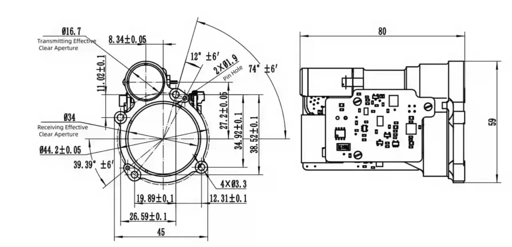
Effective Aperture: Transmitting Ø16.7mm, Receiving Ø34mm | Mounting: 4× Ø3.3 mounting holes and 2× Ø1.9 pin holes for precise alignment.
- Alignment Precision: The integration of 2× Ø1.9 pin holes alongside the standard 4× Ø3.3 structural mounts enables absolute zero-tolerance fixation on aerial gimbals and surveying tripods.
- Aperture Optimization: The distinct configuration of the Ø16.7mm Tx and Ø34mm Rx windows maximizes photon reception, a critical factor in maintaining the module’s 98% accuracy rate over vast distances.
VII. Universal Adaptability of the Topographic Mapping Sensor
Forged to redefine long-range spatial data collection, the NLM7300A consistently delivers exactness in environments where conventional optics fail. By coupling an immense 7300m measuring threshold with a highly specialized cumulative emission counter, this 7.3km topographic laser rangefinder module establishes an authoritative standard for hardware reliability. Whether deeply integrated into forestry observation payloads or tasked with automated industrial site profiling, it grants systems integrators a completely secure, weather-resilient, and uninterrupted distance measurement solution.
VIII. Elite 1535nm Er:Glass Ranging Solutions


NLMB3000A 1535nm 3km Laser Ranging Module
VIEW SPECSRNG3000mPWRSTBY ≤ 0.6W AVG ≤ 1.5W PK ≤ 7WDim.≤ 48×30.5×21mm
NLM3200A 3.2km Laser Rangefinder Module
VIEW SPECSRNG3200mPWRSTBY ≤ 0.5W AVG ≤ 2WDim.≤ 50 × 36.5 × 24mmNLM8000K 8km Laser Rangefinder & Industrial Sensor
VIEW SPECSRNG8000mPWR≤ 5WDim.≤87.5 × 52 × 41.5mmNLM10500A 10.5km Strategic Laser Rangefinder
VIEW SPECSRNG10500mPWRSTBY ≤ 1.8W AVG ≤ 4WDim.≤ 95 × 60.5 × 71.5mmNLM5000A 5km Precision Industrial Laser Sensor
VIEW SPECSRNG5000mPWRAVG ≤ 2W PK ≤ 5WDim.≤ 62 × 43.5 × 34mmNLMB2500A 1535nm Compact Laser Rangefinder Module
VIEW SPECSRNG2500mPWRSTBY ≤ 0.6W AVG ≤ 1.5W PK ≤ 7WDim.≤ Φ34 × 55mmNLM7000U 7km UAV Tracking Laser Rangefinder Module
VIEW SPECSRNG≥ 7000mPWRAVG ≤ 1.5W PK ≤ 5WDim.≤ 62 × 72 × 80.5mmNLM9500A 9.5km Industrial Laser Rangefinder Module
VIEW SPECSRNG≥ 9500mPWRSTBY ≤ 0.001W AVG ≤ 3WDim.≤ 66 × 59 × 42mmNLM5300A 5.3km High Precision Laser Distance Sensor
VIEW SPECSRNG≥ 5300mPWRSTBY ≤ 1.8W OP ≤ 4WDim.≤ 62 × 43 × 32mm